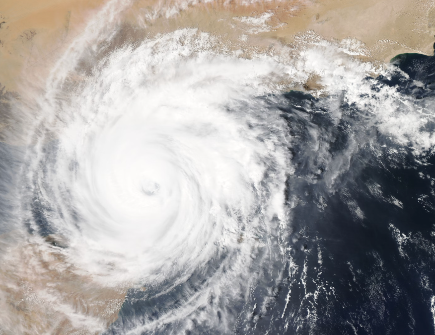
Before the 2024 hurricane season began June 1, the National Hurricane Center had announced its prediction of an active hurricane season.
Strong El Ninos are accompanied by a persistent jet stream coursing eastward from the Pacific Ocean over the northern Gulf of Mexico. The jet continues out over the Atlantic Ocean and disrupts clusters of thunder storms before they can organize into a stable circulation pattern defining a tropical storm system. During the El Nino cycle a nascent tropical storm has its tops cropped off before it can gather steam and head toward the North America.
This summer, in the absence of a strong El Nino, no southern jet has formed. This circumstance cleared the way for a precocious tropical storm, Beryl, that quickly formed and grew into an intense Category Five hurricane, although for only a brief few hours before arriving at the outer reaches of the Caribbean’s Windward Islands.
After inflicting damage on several islands just north of the South American coastline, it moved across the southern Gulf of Mexico before making landfall on the Yucatan Peninsula. There it again turned toward the US and blew ashore near Houston as a comparatively week Category One storm, delivering maximum 80 mph sustained winds.
But the storm also delivered flooding rains and swamped many power substations in the greater Houston area, leaving more than two million customers without power. Fortunately, more than half the outages were corrected within one day with most of the rest having their powthe er restored a week later.
Beryl was unusual in that the storm formed before the official beginning of the US hurricane season June 1. It was also the earliest Category Five storm on record in the Atlantic Basin.
Before ascribing too much notoriety to Beryl, it should be understood that the “Five” rating lasted for only a brief time (a few hours) before it degraded to a “four” and then a “three” for much of its subsequent itinerary, and then a “two” and finally coming ashore a “one.”
But disregarding some of the exuberance accorded Beryl in the mainstream media, it should be realized that the time when a storm well offshore could be catalogued with accurate wind speeds, lateral dimensions and vertical depth has numbered just a few decades. It is statistically certain that many major hurricanes and even more lesser storms went entirely unnoticed and did not become part of the record books. Today satellite monitoring does not miss a single storm that forms anywhere across the wide world.
Because of technological advances in recording every mportant aspect of hurricanes since 1950, there is a built-in bias in accounts by those who would like to create a false public awareness that presumes that more major storms have formed with the moderate increase in ocean temperature noted over the same time period.
Ocean scientist Ryan Maue has developed a metric he terms the “Accumated Cyclone Activity” index (ACE) that incorporates key physical aspects of all tropical storms, including the strength of hurricanes, typhoons and lesser cyclonic storms that occur in all tropical waters around the globe. When year to year comparisons are made, Maue states there is no significant upward trend in the occurrences of severe hurricanes since the 1950s This is the same period when atmospheric levels of carbon dioxide rose from 270 parts per million to the present 420 ppm.
If CO2 were playing a significant role in raising ocean temperature that in turn creates more and stroner hurricanes, the above increase in CO2 would surely have resulted in demonstrably more tropical storm activity than is being observed.
Mid-August hurricane watching is very early in the game, with storm-prone September and October to follow. Few hurricanes spawn in November.
So, we need to watch how this plays out. If lucky, we will not see another Katrina, Sandy or other excessively damaging hurricane make landfall this year. But we cannot disregard the possibility of a Cat. 4 or 5 creating billions in property damage, human death and misery before the cooling winds of autumn arrive. If and where one strikes, there will be significant damage depending on the amount of infrastructure and private property in the path. A strike in coastal areas with a concentrations of oil refineries or offshore oil fields will drive up the price of gasoline, diesel and fuel oil.
The 2024 hurricane season, while temporarily in pause, could still turn out to be a doozy. Stay tuned.
This piece originally appeared at DuluthNewsTribune.com and has been republished here with permission.


The oceans are cooling part of that’s causing by what’s entering from the Arctic and part of it’s coming from what’s interesting and entering from the Antarctic that’s why we’re not seeing a bunch of hurricanes form they want hurricane that is described in the article was a result of intrusion by cosmic rays from the Sun impacting the atmosphere